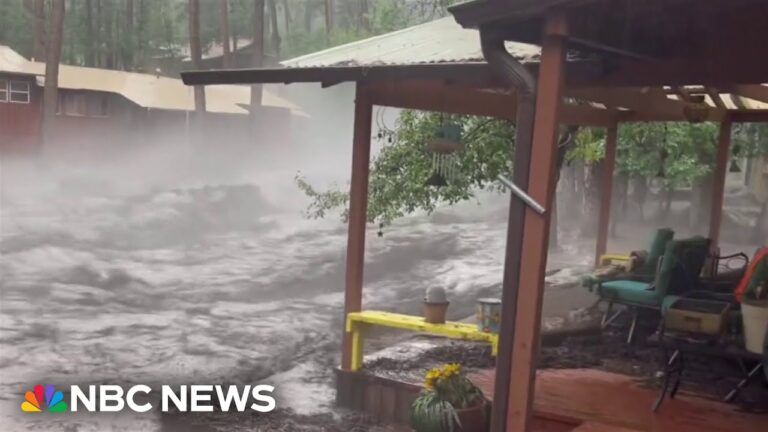
Video at the bottom!
In a recent weather update, viewers witnessed a dramatic increase in water levels along a small river in a picturesque rural area. The segment highlighted a flash flood emergency ongoing in the region, with significant weather events occurring just outside Philadelphia. Tornado warnings had been issued, although recent updates indicated they had been lifted.
Thunderstorms were sweeping through Philadelphia, causing concerns about power outages across the area. Meteorologists reported severe wind gusts, reaching up to 77 miles per hour, particularly near Baltimore, Maryland. The dangerous weather system, now moving into Delaware, posed a destructive threat along its path, especially through areas like Chestertown, where gusts could peak around 80 miles per hour.
Travel disruptions were also a significant issue, as delays were reported at major airports, including Dulles and Reagan, with some flights facing delays of up to 120 minutes. The weather worsened noticeably as the evening progressed, plunging the area into darkness.
When asked about tornado activity in Central Jersey, meteorologists clarified that while radar indicated spinning, no confirmed touchdowns had occurred. They reminded viewers of the flash flood warning in effect for Philadelphia, emphasizing a considerable threat for flash flooding across the region.
The discussion highlighted the risk associated with the stretch of the Delaware River between Pennsylvania and New Jersey, noting that conditions could become particularly hazardous due to the ongoing flash flooding.


